Chattahoochee River Corridor Remodel Permits in PTC
November 6, 2025
November 6, 2025
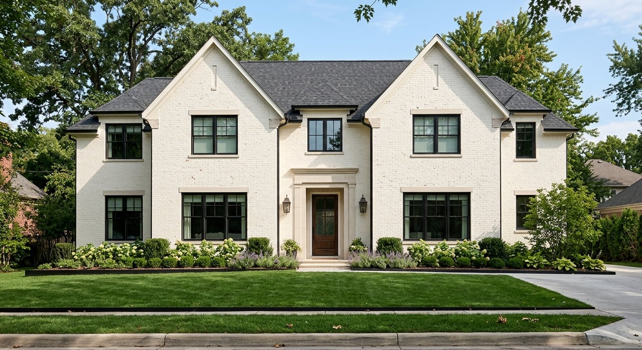
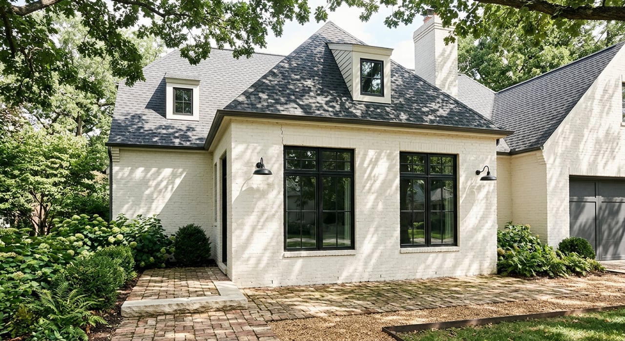
Planning a deck, pool, or addition along the Chattahoochee River in Peachtree Corners, Sandy Springs, Roswell, Johns Creek, or Vinings? If your lot sits within the 2,000-foot Chattahoochee River Corridor, your project will face extra review and a few more forms. That can feel intimidating, especially when you want to improve your home without risking delays or surprises.
This guide explains how Corridor rules work, which projects trigger review, and how to move from concept to approval with fewer headaches — no matter which riverfront community you call home.
The Chattahoochee River Corridor is a regional overlay created under the Metropolitan River Protection Act. It spans roughly 2,000 feet on each side of the river and is designed to protect water quality, scenic views, and habitat across multiple cities and counties in metro Atlanta.
Several agencies play a role:
The Metropolitan River Protection Commission (MRPC), supported by the Atlanta Regional Commission (ARC), provides advisory Corridor review.
Local governments — including Peachtree Corners, Sandy Springs, Johns Creek, Roswell, Vinings, and their respective counties — handle zoning and building permits within their jurisdictions.
Georgia’s Environmental Protection Division (EPD) enforces erosion and stormwater rules.
The key point: MRPC and ARC comments are advisory, but local governments take them into account when issuing permits. Your approval ultimately comes from your city or county.
Before you sketch plans, confirm your parcel’s status. The Corridor footprint is precisely mapped — don’t estimate by eye. Use official GIS maps or contact your city’s Planning Department to verify.
If you’re within the Corridor, plan for added review steps and slightly longer timelines.
Common triggers:
New structures or additions
Decks, pools, patios, and other features that add or change impervious surface
Major grading or land disturbance
Tree removal near streambanks or within mapped buffers
What typically does not:
Routine maintenance or interior remodels
Like-for-like repairs that don’t alter the site footprint
Local thresholds determine whether your application is referred for Corridor review. Ask during your pre-application discussion so you can plan accordingly.
Step 0: Verify Location
Confirm whether your parcel lies inside the Corridor using official GIS maps or by contacting your city or county planning office.
Step 1: Pre-application Meeting
Schedule a call or meeting with local planning staff — such as Peachtree Corners Planning and Zoning, Sandy Springs Development Services, or the appropriate County Planning Department.
Discuss project type, added impervious area, tree impacts, and whether Corridor referral is expected.
Step 2: Prepare Technical Documents
Site plan with existing and proposed work
Boundary and topographic surveys
Tree survey and protection/mitigation plan
Erosion and sedimentation control plan
Stormwater plan (if adding impervious area)
Construction sequence and site photos
Step 3: Submit Locally, Then Referral
Submit your completed package to the relevant city or county. Staff will determine if your application goes to MRPC/ARC for advisory review. Expect comments focused on buffers, runoff, and habitat.
Step 4: Revise and Finalize Approvals
Address comments by adjusting location, limiting impervious surface, or adding vegetative buffers. If needed, prepare a variance request with justification and mitigation.
Step 5: Permits and Construction
Pull building, erosion, and tree permits before work begins. Install erosion control first, then begin construction. Finish with final inspections and replanting as required.
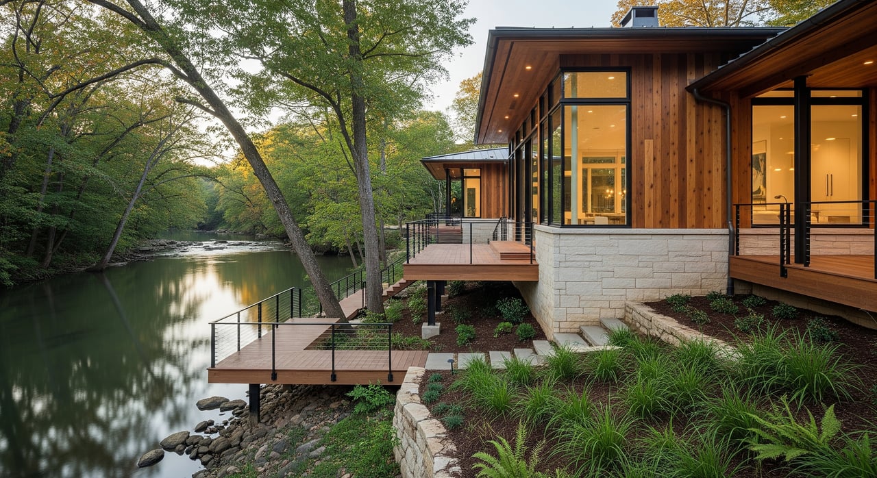
The Corridor Plan emphasizes vegetated buffers along the river. Exact widths and setbacks vary by city, so confirm early. Expect close scrutiny on projects that approach streambanks.
If you’re adding hardscape, keep impervious coverage in mind. Where you increase it, offset with green infrastructure like rain gardens, permeable pavers, or swales.
Decks
Choose elevated, pier-supported designs that minimize soil disturbance.
Preserve canopy and root zones.
Use pervious or spaced decking to reduce runoff.
Pools
Pools add impervious area and excavation — expect review.
Place them away from the river, ideally in already developed parts of your lot.
Provide engineering showing runoff management and erosion control.
Additions
Consider building upward instead of outward.
Use pervious materials for patios and walks.
Be prepared to show mitigation for any buffer impact.
Every site is different, but homeowners can plan for:
Pre-application and scoping: 1–3 weeks
Preparing surveys/engineering: several days to a few weeks
Local intake + MRPC/ARC review: 2–8 weeks
Revisions and final approvals: 1–4+ weeks
Construction permits: 1–4 weeks after approvals
Expect standard building, erosion, and review fees. MRPC/ARC does not charge homeowners directly for advisory comments.
Don’t start work before permits are issued — unpermitted work can lead to fines or stop-work orders.
Minimize buffer impacts early in your design.
Hire professionals familiar with Chattahoochee Corridor permitting — they can save weeks.
If slopes or buffers limit your buildable area:
Shift the project away from the river side.
Use pier or helical pile foundations to reduce disturbance.
Replace old hardscape with pervious materials.
Add native landscaping or small non-structural features instead of large decks.
Treat variances as a last resort.
If you’re considering improvements near the Chattahoochee in Peachtree Corners, Roswell, Sandy Springs, Johns Creek, or Vinings, a quick planning call can help you scope your options. Work with your city early, assemble a qualified team, and be prepared to show how your project protects the river corridor.
If you’d like insight into how your plans may affect resale value or local buyer demand, reach out to Ellen Cook for a personalized consultation and neighborhood market perspective.
How do I confirm I’m in the Chattahoochee River Corridor?
Use official ARC or local GIS maps or contact your city’s Planning Department to verify your parcel’s status inside the 2,000-foot overlay.
Will MRPC stop my renovation?
MRPC, supported by ARC, provides advisory comments; your city or county issues the actual permits.
Do decks and pools near the river always need review?
Often yes. Designs that minimize soil disturbance, preserve trees, and manage runoff tend to move through review faster.
What happens if I need to cross a setback or buffer?
You may need a variance. Expect a public process and be ready to show justification and mitigation.
How long does Corridor review add to my timeline?
Typically 2–8 weeks, depending on scope, revisions, and local staffing.
What should be in my first submittal to avoid delays?
A complete site plan, surveys, stormwater strategy, and a clear approach to tree protection and mitigation.
Stay up to date on the latest real estate trends.


Things To Do
April 17-19
Things To Do
March 27-29
Ellen Thomas blends analytical insight with refined service to deliver a seamless real estate experience. Known for her thoughtful guidance and strong client advocacy, she helps buyers and sellers navigate every move with confidence and clarity.